Berlin, Germany/berlin329
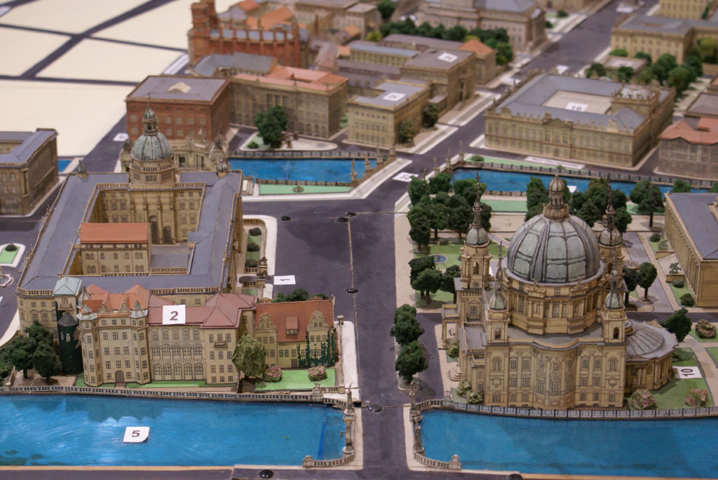
Previous | Home | NextThis is looking westward along Karl-Liebknecht Straße; where the street bends to the right, it develops into Unter den Linden. The Berliner Dom on the right side (north) of the street; the Stadtschloß is on the left side (south) of the street. To the right of the Stadtschloß, the extension just touching the street, was the site of the Hofapotheke. The authors, 2008.