Ferrara, Italy/ferrara516
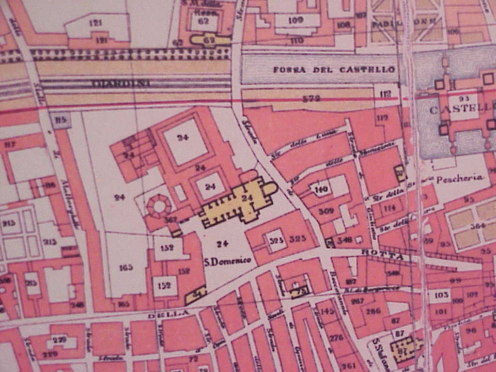
Previous | Home | NextThis portion of the 1597 map shows the area of Chiesa di San Domenico. To give geographical orientation, note the Castello Estense to the far right. The authors, 2005.
Ferrara, Italy/ferrara516Previous | Home | NextThis portion of the 1597 map shows the area of Chiesa di San Domenico. To give geographical orientation, note the Castello Estense to the far right. The authors, 2005. |
|
|