Mexico/mexico315
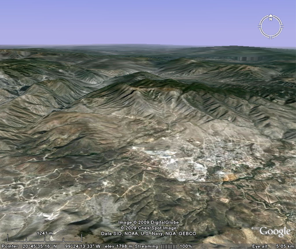
Previous | Home | NextThis image shows the landscape and the route from Zimapán to the canyon where the Lomo de Toro Mine is located (see next photo for identifications). The view is north. Courtesy, Google™ Earth; to be used exclusively for non-commercial purposes, 2009.